Original Name:
Pātul
Geographical Location: Natore Zl, Rajshahi Div, Bangladesh, Asia
Geographical Coordinates: 24° 29' 0" North, 89° 0' 0" East
Detailed map of Patul and near places:
Welcome to the Patul google satellite map! This place is situated in Natore Zl, Rajshahi Div, Bangladesh, its geographical coordinates are 24° 29' 0" North, 89° 0' 0" East and its original name (with diacritics) is Pātul. See Patul photos and images from satellite below, explore the aerial photographs of Patul in Bangladesh. Patul hotels map is available on the target page linked above.
 |
| PATUL MAP |
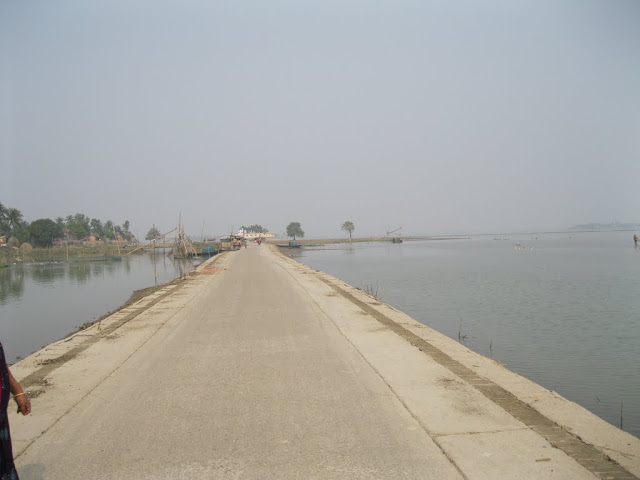
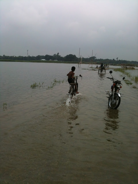
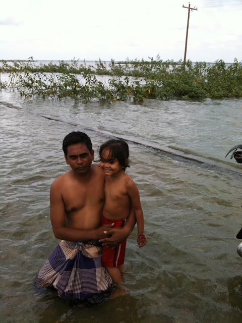
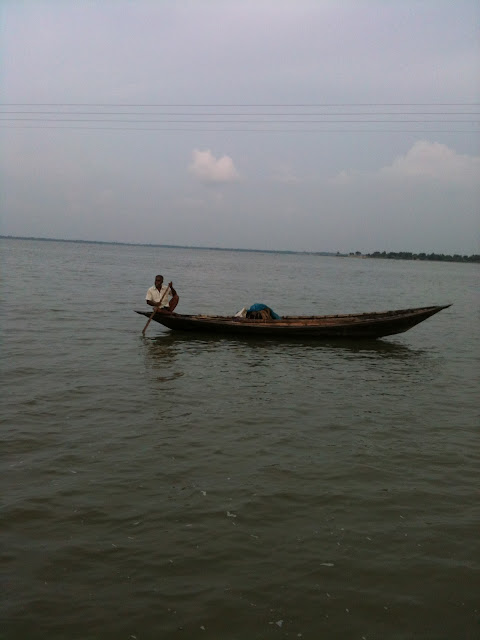
Patul is natural place of Natore District. It has a great natural resoures. A part of singra cholonbill river is the main attraction of patul. A road goes with full of waters in both sides. A visitor can walk and run in this road with water. It's a long road. Many tourist swim with their family. It's a tourist place. It is situated in village and villege's nature is so wonderful. Many tourist come here and selibrate their party. There are many fishers fishes fish. There are many fisher's boats and tour boats looking there. Some pics are available below-


.jpg)


